Seven Surprising Things About Washington State's Olympic Peninsula
This is one of our favorite places, not far from our former-home in Seattle. But over the years, it's still surprised us.
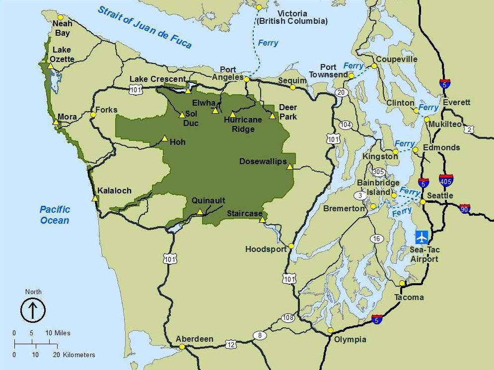
Before becoming digital nomads in 2017, Brent and I lived in Seattle. Across Puget Sound from that city is something called the Olympic Peninsula — which is basically the Western third of the state of Washington.
Because it’s fairly difficult to get to — you either have to take one of the ferries across Puget Sound, take the Narrows Bridge in Tacoma across the sound, or drive all the way south and up — it’s much less developed than the areas north and south of Seattle.
The centerpiece of the Olympic Peninsula is the Olympic National Park, one of the wildest and most rugged in America’s national park system. The park is made up of two different sections: the land around the Olympic Mountains and a “coastal strip” along the Pacific Ocean.
Even after traveling so much of the world, this is still one of Brent’s and my favorite places.
It’s also the closest thing we now have to a home base, as Brent’s dad has a timeshare condo here. Like migrating geese, we return every year to the Olympic Peninsula, where we stay for a month while we visit family and friends, and take care of our various yearly chores.
Since we’ve spent so much time here, we figured it was time to write a newsletter about the area. Here are seven things that have surprised us.
1) The Olympic Mountains and Olympic National Park.
Let’s start with the most obvious part of the Peninsula: the national park itself, which includes the Olympic Mountains, almost all of which are inside the park.
Surprisingly, the mountains aren’t very tall. The highest, Mount Olympus, stands only 7,965 ft (2,428 m). But because they rise almost straight up from sea level, they appear very dramatic and are frequently compared to the Alps.

The mountains are surrounded by saltwater on three sides, with only a 22-mile coastal plain separating the western peaks from the Pacific Ocean. We’ve climbed six of the 244 named mountains in the range, and from the top of some of these peaks, you can see water on two of the three sides, at least on a clear day.
The nearness of Mount Olympus to the Pacific Ocean creates one of the steepest “reliefs” in the world — that is, how sharply land rises from the sea. This dramatic relief acts as a roadblock to air currents, capturing most of the moisture flowing in from the Pacific and turning it into rain and snow. As much as 240 inches of precipitation fall on the western half of the Olympics every year, creating 184 glaciers and seventeen major rivers that flow out of the mountains.
All of that water also gives rise to the Hoh Rain Forest, one of the world’s “temperate” rainforests. It has to be seen to be believed.
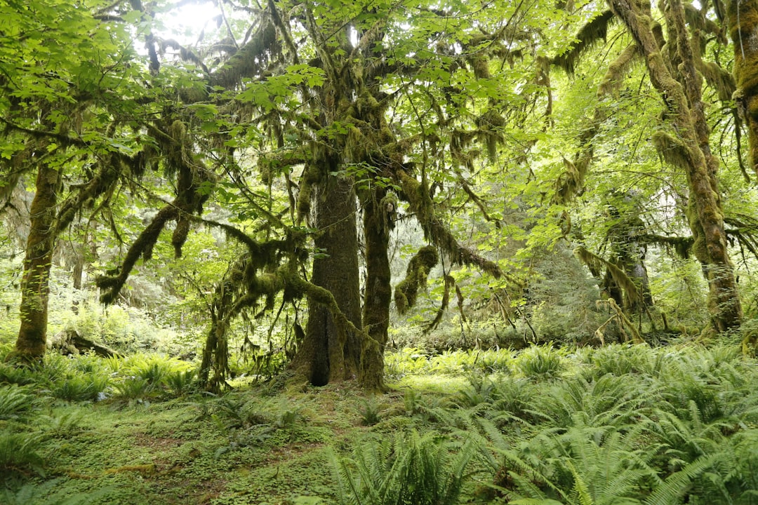
But rain on the Olympic Peninsula is an “all or nothing” kind of thing. The Olympics captures so much water that they also create a rain shadow on the eastern half of the peninsula. Some places get as little as sixteen inches a year.
The park is home to Roosevelt Elk, lynxes, black bears, non-native mountain goats, and lots and lots of cougars. Brent and I have seen the first four animals, but we’ve never seen a cougar — although those wild and wily cats have probably seen us. More on this in a bit.
2) The Ozette Loop and the coastal strip.
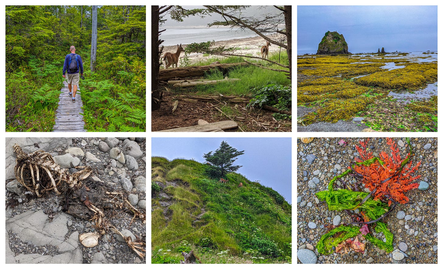
Remember when I mentioned the “coastal strip” part of the Olympic National Park? It actually has just a few access points, and it can only be explored on foot or by boat, meaning it is far and away the most rugged and “wildest” coastal area in the entire “lower 48” of the United States.
One of the best access points? It’s something called the Ozette Loop, a nine-mile circular hike. It is:
Three miles in, through the misty rainforest.
Three miles along the beach itself, past jagged sea stacks and crashing surf.
And then three miles back out, on a meandering boardwalk through an ancient bog.
And it’s absolutely magical. Every time we hike it, we see something incredible, like the time we watched a fawn being born at the edge of the forest. Brent and I stood quietly and watched as the fawn took its very first steps.
But let’s be clear about one thing: Washington State beaches aren’t where you come to work on your tan or go swimming. Even in summer, the temperature rarely climbs into the 80s, and the water is always bone-chilling. It’s also pretty dangerous as storms frequently lash the coast.
And as I said, access is very limited, so you have work to get to the most beautiful of these beaches.
That said, if you’re looking to confront the awesome power of the ocean, and also replenish your soul a bit — well, this is the absolutely perfect place.
Get smarter every day! Every day Refind picks 5 articles that make you smarter, tailored to your interests. Loved by 100k+ curious minds.
3) The Discovery Trail.
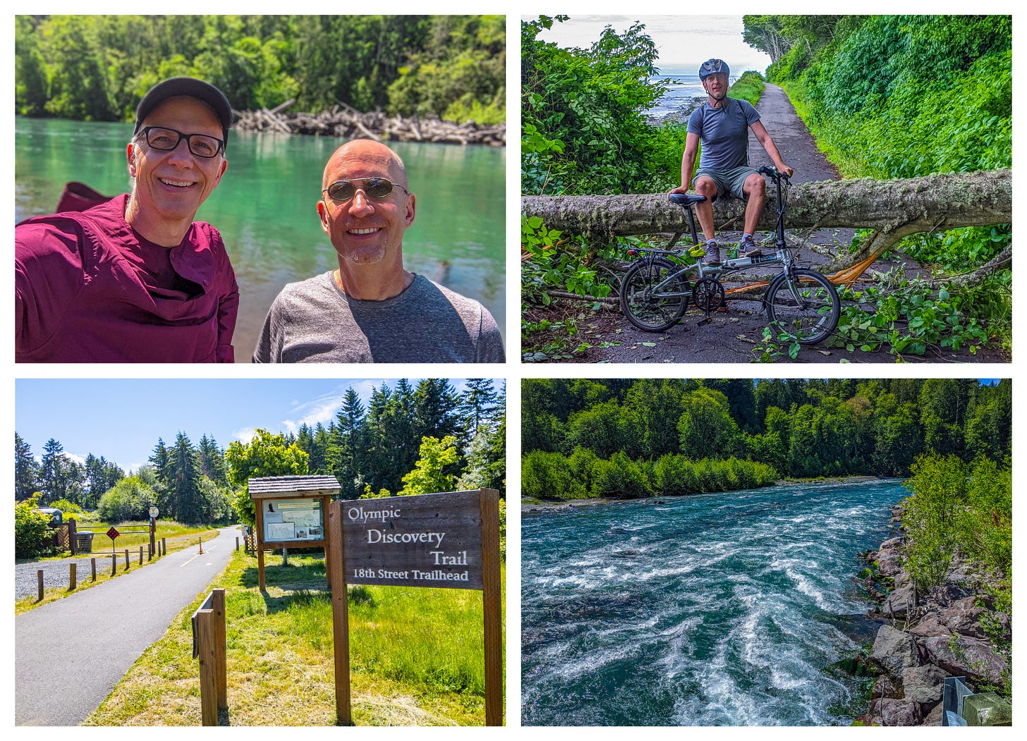
Brent and I love to bike. And our favorite bike trail anywhere in the world just might be the Olympic Peninsula’s Discovery Trail.
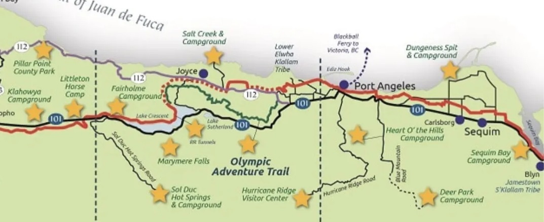
The trail, which was the brainchild of three area cyclists, stretches some 135 miles (217 km) across the Peninsula. Ninety miles (140 km) of the trail are a dedicated bike path, while the rest is along public roads.
The trail takes you through forests and farmlands — including a chicken farm filled with exotic chickens! — and across abandoned train trestles over mountain streams. At one point, it even runs directly above the beach along the Strait of Juan de Fuca.
But our favorite portion? The ten-mile/sixteen-kilometer Spruce Railroad leg along the north shore of Lake Crescent, which is paved but on the opposite side of the lake from the road with the cars. Stunning!


