Grading Thailand's Famous Mae Hong Son Loop
This amazing part of Northern Thailand has a road with 1,864 curves — and at least that many things to do.
For the audio version of this article, read by the author, go here.
As Brent wrote previously, we were very pleasantly surprised by Chiang Mai, Thailand.
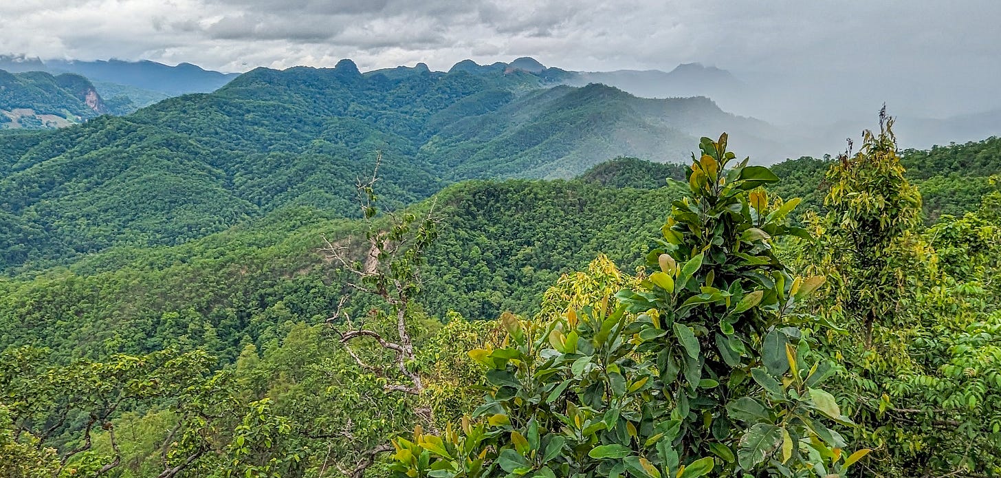
We may have been even more pleasantly surprised by the Mae Hong Son Loop, which is the mountainous jungle region that stretches north from Chiang Mai up to the border of neighboring Myanmar.
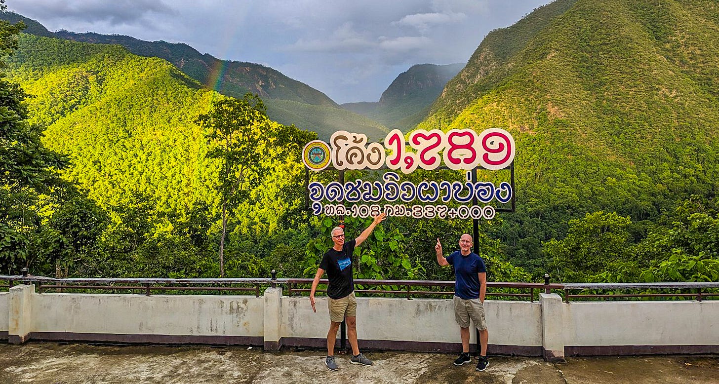
The road you follow around the loop famously has 1,864 curves — and at least that many things to do along the way.
Brent and I recently made the loop. If you choose to do it too — and you really should — here’s everything you need to know, including some nuts-and-bolts advice at the end.
What exactly is the Mae Hong Son Loop?
Basically, this is a road trip that loops through the northernmost part of Thailand. The road itself has become something of a famous tourist attraction.
The loop begins and ends in Chiang Mai and can be done in either direction. The total distance is 555 kilometers (345 miles) and passes through several major towns, including:
Mae Hong Son, the capital of the Mae Hong Son Province.
Pai, a small town known for expats, nomads, backpackers, and hippies — yes, hippies.
Mae Sariang, situated in the most mountainous region and just 50 kilometers from the Myanmar border.
The loop passes through several national parks — most famously Doi Inthanon National Park, home to the tallest mountain in Thailand.
Other popular features along the loop include many waterfalls, various hot springs, spectacular viewpoints, a number of notable temples and shrines, and several famous caves.
The main road’s many curves and turns are now also an attraction in themselves, and they’ve made the loop popular with motorcycle and scooter riders.
Brent and I think these people are crazy, at least if the riders are in any way inexperienced. That said, it should be noted that in recent years, almost the entire roadway has been refinished and rebuilt, and much sturdier guardrails have been installed. The road isn’t nearly as treacherous as it was even several years ago.
The Top Attractions
Here are our nine favorite things that we saw on the Mae Hong Son Loop.
Since the Thai people love their monks, we’re rating each attraction on our patented “Golden Monk” rating system — a scale from one (worst) to five (best) Golden Monks.
Pha Dok Siew Waterfall Trek
This hadn’t been on our original itinerary, but when we said we’d like to do a hike, our tour company happily swapped out a temple for this hike through a national park, led by a member of the local hill tribe.
It had everything: a winding trail past stunning waterfalls, bucolic rice paddies, great jungle views, and finally ended up in a fascinating hill tribe village.

Our only complaint was, at four kilometers, the hike was too short. But it still ended up being one of the highlights of the entire trip.
Doi Inthanon National Park
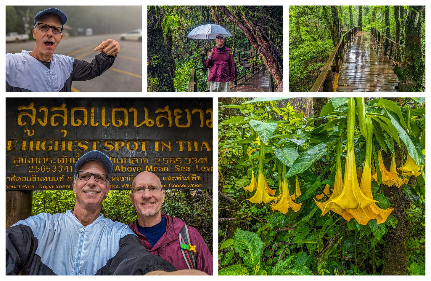
Doi Inthanon is a national park along the loop that includes Doi Inthanon Mountain, the highest point in all of Thailand. It reaches 2,565 m (8,415 ft).
From photos, I knew that on clear days, the view from the top was spectacular. But the day was we visited was far from clear. It was cloudy and misty and so cool that we needed to wear actual jackets.
Rather than being disappointed by the lack of a view, we loved the wet, foggy forests. And after five months of Southeast Asian heat, the cool air was downright glorious.
Plus, this is a cloud rainforest, and when in a place like that, one should see both clouds and rain, right?


